
Reading the Map: A Guide to New Zealand Geography for First-Time Visitors
How New Zealand actually works geographically -- driving distances, regional differences, and why your first trip plan needs more time.
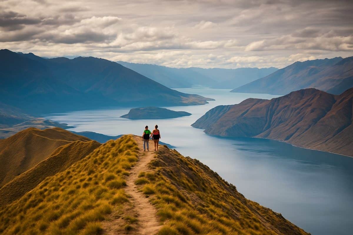
When we first arrived in New Zealand, someone handed us a road map and said the drive south would take about five hours. That was technically true — if you ignored the mountain passes, the one-lane bridges, and the fact that the country is shaped less like a highway corridor and more like a crumpled ribbon dropped into the Pacific. Wo men hua le ji nian cai zhen zheng du dong zhe zhang di tu — it took us years to really read this map. What follows is what we wish someone had told us before our first road trip out of Auckland.
Smaller Than You Think, Longer Than You Expect
The Hainan Island Comparison
We remember staring at a wall map in our first Auckland flat, trying to reconcile what we were seeing with what we had been told. New Zealand is roughly 268,000 square kilometres — smaller than Guangdong province, comparable to Hainan and Jiangsu put together. On paper, a country you could drive end to end in a day. We had crossed provinces bigger than this on a single train nap. The dimensions look manageable: about 1,600 kilometres from Cape Reinga at the top to Bluff at the bottom, never more than 400 kilometres wide at any point. But these numbers are liars. They describe a country drawn on a flat surface, and New Zealand is anything but flat.
Mountains run down the spine of both islands like crumpled paper, forcing roads into valleys, around lakes, over passes that gain and lose a thousand metres of elevation in an hour. That straight-line distance from Auckland to Wellington? The road adds nearly a third more. On a map of China, New Zealand looks like something you could tuck into a corner of Sichuan. On the ground, it unfolds and unfolds and refuses to end. Every Chinese friend who has visited us has made the same mistake. They look at the map, they see the scale bar, they calculate driving times using Chinese expressway logic — 120 kilometres per hour, steady progress, service stations every forty minutes. Then they discover that New Zealand does not work that way.
Why Google Maps Lies to You
Google Maps will tell you that Auckland to Wellington takes about eight hours. This is technically accurate in the way that saying Mount Everest is a long walk is technically accurate. The algorithm calculates based on speed limits and road distance, but it cannot account for the truck doing 70 in a 100 zone on a stretch where passing is impossible. It does not factor in the one-lane bridges — and there are hundreds of them, relics of an era when traffic meant two cars and a horse. It does not know about the stock crossing that will park you behind forty dairy cows for ten minutes in the Waikato, or the logging truck that turns every corner of State Highway 3 into a patience exercise.
Summer adds its own delays. From December to February, the roads fill with campervans driven by people who have never handled anything larger than a hatchback, holding 80 on open roads and braking hard into every curve. You will spend stretches of the Milford Road at half the speed limit, watching a campervan negotiate corners like a nervous ship. Budget at least 30 percent more time than Google suggests for any trip longer than two hours. If you have driven the G15 Shenhai Expressway or the G4 Jinggang’ao, reset every assumption you have about highway travel. New Zealand state highways are a different species entirely.
The Ferry in the Middle
The first time someone told us we would need to catch a ferry to reach the South Island, we assumed they meant a ten-minute crossing — something like the boats between Gulangyu and Xiamen. Cook Strait is not that. The crossing between Wellington and Picton takes three and a half hours on a good day, and that is just the sailing time. Factor in the check-in window — you need to arrive at least an hour early for a vehicle booking — and the drive off the ferry at the other end, and you have lost half a day to the water between the islands.
But calling it lost time is unfair. The Interislander and Bluebridge ferries cross through the Marlborough Sounds on the Picton approach, winding between forested headlands that drop straight into water so green it looks artificial. On a clear day you can see the Kaikoura Ranges from the upper deck, snow on the peaks even in early summer. It is one of the most scenic commuter routes in the world, and most passengers spend it eating a mediocre pie from the onboard cafe while scrolling their phones. Book ahead if you are travelling between Christmas and February — sailings fill up weeks in advance, and turning up without a reservation means sleeping in your car in Wellington, which is nobody’s idea of a holiday. Prices vary from around forty dollars per person for a walk-on passenger to over two hundred for a car and driver in peak season.
North Island and South Island Are Different Countries
What the North Gives You
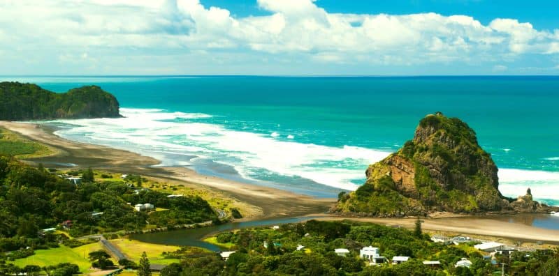
Three-quarters of New Zealand’s population lives on the North Island, and you feel it. Auckland alone holds nearly two million people — a third of the country crammed into one city’s sprawl of motorways, harbours, and volcanic cones. The further north you drive from Auckland, the warmer and more subtropical it gets: Northland’s Bay of Islands has pohutukawa trees that bloom red over white sand beaches in December, and the winterless north earns its nickname. South of Auckland, the landscape shifts to the rolling green dairy country of the Waikato — endless paddocks interrupted by the occasional small town built around a single main street and a fish-and-chip shop.
The central North Island is where the geology gets dramatic. Rotorua smells of sulphur before you see it, the geothermal steam rising from drains and backyards like a city built on a slow-motion volcano. Taupo sits beside a lake that is actually a supervolcanic caldera, a fact the locals mention with studied casualness. The Tongariro crossing gives you a day walk across a volcanic plateau that looks like it belongs on Mars. Wellington anchors the bottom of the island — compact, wind-blasted, culturally sharp, with better coffee and worse weather than anywhere else in the country. If China’s south is defined by water and warmth, the North Island follows the same logic: greener, wetter, more populated, more urban, more accessible on a short trip.
What the South Delivers
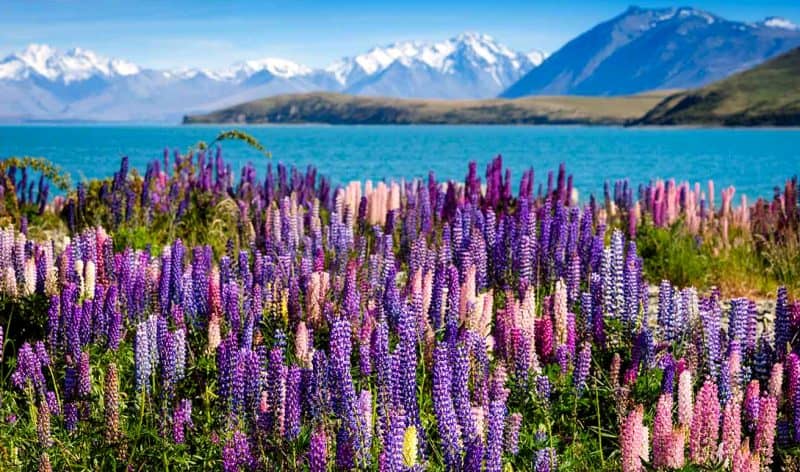
Cross Cook Strait and the country changes its mind about what it wants to be. The South Island has fewer people than the city of Wuhan, spread across an area of mountains, plains, fjords, and rainforest that would take weeks to cover properly. The Southern Alps run the length of the island like a wall, catching the weather from the Tasman Sea on one side and leaving the Canterbury Plains dry and golden on the other. It is a country split down the middle by its own backbone.
The West Coast gets five metres of rain a year in places. The bush is so dense and green it feels tropical, but the air temperature reminds you it is not. Drive an hour east over Arthur’s Pass and you are in Canterbury — flat, dry, the sky enormous above fields of wheat and sheep. Queenstown sits in the southern lakes district surrounded by mountains that have launched a thousand tourism campaigns. Milford Sound, the one fjord everybody photographs, is a five-hour drive from the nearest major town on a road that closes in winter when avalanches take it out. Think of the contrast between Yunnan’s valleys and the Tibetan Plateau, but compressed into a space you can cross in a day if the roads cooperate. The South Island delivers the scenery that sells New Zealand to the world, but it demands patience and petrol to reach it.
The Regions That Surprise First-Timers
The standard itinerary hits Auckland, Rotorua, Queenstown, Milford Sound, and maybe Christchurch if there is time. This covers the greatest hits and misses the album tracks. The Coromandel Peninsula, two hours east of Auckland, has beaches framed by native bush where you can dig your own hot pool in the sand at low tide — and in the off-season, you might have the whole bay to yourself. The Wairarapa, barely an hour over the Rimutaka Hill from Wellington, produces pinot noir that rivals Martinborough’s reputation and has a coastline where seals sleep on rocks ten metres from the road.
In the South Island, the Catlins occupy the southeastern corner like a region that opted out of the tourism economy entirely. Petrified forest, yellow-eyed penguins, waterfalls in the bush, and a general store that serves as post office, petrol station, and community notice board. Central Otago in autumn turns the colour of old gold — the poplars and willows along the Clutha River blazing against schist rock in a way that makes you pull over every five minutes. Taranaki, back on the North Island, has a volcanic cone so symmetrical the Japanese visitors call it New Zealand’s Fuji, and a coastal walkway that circles it through dairy farms and surf beaches. Every experienced traveller we know has a favourite region the guidebooks underplay. Building one of these into your itinerary is the difference between seeing New Zealand and understanding it.
Reading the Map Like a Local
State Highways Are Not Motorways
If you have driven in China, the phrase “state highway” conjures images of multi-lane expressways with service areas, electronic tolling, and a sustained cruising speed of 120. New Zealand’s State Highway 1 — the main arterial route connecting Auckland to Wellington and Christchurch to Picton — is mostly a two-lane road. One lane each way, a painted centreline, and a speed limit of 100 kilometres per hour that you will frequently not reach. Passing lanes appear every few kilometres on the better stretches, giving you a brief window to get past the truck or campervan that has been setting your pace for the last twenty minutes.
Away from the main corridors, the roads narrow further. State Highway 6 along the West Coast has sections that feel more like a country lane than a national route. The Crown Range road between Queenstown and Wanaka climbs through switchbacks that would make a Guizhou mountain pass feel well-engineered. There are no motorways outside the approaches to Auckland, Wellington, Christchurch, and Tauranga. The rest of the country runs on two-lane highways, and the sooner you accept that, the sooner the driving becomes enjoyable rather than frustrating. Slow down, use the passing lanes when they appear, and stop treating the journey as dead time between destinations.
Place Names Tell You Something
One of the quiet pleasures of reading a New Zealand map is discovering that the place names mean something. Te reo Maori, the indigenous language, names the land the way Chinese characters name it — descriptively, geographically, poetically. Wai means water. Roto means lake. Maunga means mountain. Whanga means bay or harbour. Once you know these roots, the map starts speaking to you. Waikato: flowing water. Rotorua: second lake. Whanganui: big harbour. Taupo’s full name is Taupo-nui-a-Tia, the great cloak of Tia, which tells you something about how the lake was understood by the people who named it.
For Chinese readers, there is a familiar logic here. Shan means mountain in Mandarin, so Huangshan is Yellow Mountain. He means river, so Huanghe is the Yellow River. The same principle runs through te reo Maori: the language encodes the geography. Learning even ten or fifteen Maori place-name roots transforms how you read the map. You start seeing that Whangarei is the cherished harbour, that Ruapehu is the pit of noise, that Aoraki means cloud piercer. It is a small effort that pays dividends not just in navigation but in respect — you are reading the country in the language of the people who named it first, and that matters more than any GPS.
Planning Your Route Without Regret
The Two-Week Trap
We have watched it happen to friends, to family, to every visiting relative who has ever landed at Auckland Airport with a printed itinerary and a rental car booking. Two weeks, both islands, twelve destinations, and a look of determined optimism that fades somewhere around Day Four on the road between Taupo and Wellington. The two-week both-islands trip is the most common planning mistake visitors make, and it turns a holiday into a logistics exercise.
Here is the arithmetic. A realistic North Island loop — Auckland, Coromandel, Rotorua, Taupo, Napier, Wellington — takes eight to ten days if you want to actually stop and experience each place rather than photograph it from a car park and drive on. A South Island circuit — Christchurch, Kaikoura, the West Coast, Queenstown, Wanaka, Dunedin — takes the same. Cramming both into fourteen days means either skipping half the stops or spending four to five hours in the car every single day. Pick one island and do it properly. If you have three weeks, do both. If you have two weeks and insist on both islands, accept that you are choosing breadth over depth and make peace with the driving. Wo men di jian yi — our advice — is always the same: less itinerary, more time in each place. The country rewards those who linger.
Seasonal Geography
New Zealand has four seasons, but the geography means they do not arrive uniformly. Queenstown in July is a ski town with sub-zero mornings and snow on the Remarkables. Auckland in July is mild and damp, maybe twelve degrees, barely requiring a proper coat. Summer in Canterbury means thirty-degree days and a nor’wester that dries your lips in minutes. Summer on the West Coast means twenty-two degrees and rain that arrives sideways without warning. The country is small enough to drive across in a day but varied enough that you can leave sunshine and arrive in a storm two hours later.
This matters for planning. Winter closes some of the South Island’s mountain passes — the road to Milford Sound can shut for days after heavy snow, and the Crown Range between Queenstown and Wanaka gets icy enough to require chains. Several of the Department of Conservation’s backcountry tracks are summer-only, with huts closed and bridges removed between May and October. Daylight shifts dramatically: summer evenings stretch past nine thirty, giving you hours of golden light for photography and exploring, while winter dark arrives by five. If you are visiting between June and August, weight your itinerary toward the North Island and the lower-altitude South Island routes. Save the alpine passes and the backcountry for summer, when the roads are open, the days are long, and the sandflies — admittedly — are at their worst.
Domestic Flights Change Everything
The single best piece of geographic advice we can offer a time-poor visitor: do not drive every kilometre. A flight from Auckland to Queenstown takes ninety minutes and costs as little as eighty dollars if you book a month ahead. The same journey by road and ferry takes two full days. Auckland to Christchurch is an hour in the air, a day and a half on the ground. Wellington to Dunedin, ninety minutes versus ten hours. Air New Zealand and Jetstar connect the main centres with enough frequency that you can fly into one city, hire a car, explore a region properly, and fly out of another without retracing your route.
The trick is to think of flights as geographic shortcuts, not lazy alternatives. Drive the parts that reward driving — the road from Queenstown to Milford Sound, the coastal route between Kaikoura and Christchurch, the Forgotten World Highway in Taranaki. Fly the parts that are just distance: the long haul between islands, the empty highway stretches of the Canterbury Plains. Car hire companies let you pick up in one city and drop off in another for a small surcharge, and most domestic airports are ten minutes from town. A well-placed flight or two turns a rushed two-island sprint into a paced, pleasurable trip. We learned this the hard way, somewhere around our third consecutive eight-hour driving day on a holiday that was supposed to be relaxing. Fei ji shi ge hao pengyou — the aeroplane is a good friend — and there is no shame in admitting it.
New Zealand is a small country that behaves like a large one. The distances are modest, the terrain is not, and the gap between the map and the experience catches almost everyone the first time. But that gap is also where the best parts of the country hide — in the regions between the famous stops, on the roads that take twice as long as you expected, in the places where you pulled over because the light did something to the mountains that you had no plan for. Du dong di tu zhi shi kai shi — reading the map is just the beginning.
3 Comments
The Hainan Island comparison is spot on. My wife is from Fujian and when her parents visited last year they kept insisting we could do Auckland to Queenstown in a day because “it looks so small on the map.” By the time we hit the Kaimai Range they had already revised their estimate twice. Also really good point about state highways not being motorways — I reckon that catches every international visitor, not just Chinese ones. The number of campervans I have been stuck behind on SH6 doing 60 in a 100 zone…
Loved the section on te reo place names. Most travel articles just list the translations but you actually explained the logic of how the language encodes geography, and the parallel with Chinese characters is clever. My nan always said if you learn the words for water, mountain and bay you can read the whole map. Wai, maunga, whanga — that is basically Aotearoa decoded right there.
Can I just say THANK YOU for the bit about Google Maps lying. I work in tourism in Queenstown and we get visitors every single week who thought Milford was “only two hours away” because that is what their phone said. The reality with the tour buses, the photo stops, the bit where you have to wait for a truck to pass on the Homer Tunnel approach… three and a half to four hours minimum. Should be required reading for anyone hiring a rental car.